
Main furled and mizzen in the middle step, I raised the anchor while Stephen steered us onto a starboard tack that would take us straight out of Scituate Harbor, and onto the second leg of our voyage. Thereafter the compass settled on northwest for Boston. I did not rush securing rode and anchor, wanting Stephen to feel needed at the tiller until he was comfortable. It was 11am, and we agreed that Stephen would take a one-hour watch at the helm, with the option to continue; in fact he sailed an additional twenty minutes until his nervous voice amid rising wind and waves called me from the cabin.

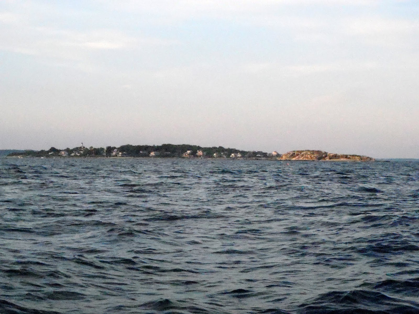
In that time, we passed Minot's Light by Cohasset, played congenial hosts to weary dragonflies, and watched the highest buildings on the Boston skyline began to emerge from the haze. Over the next two hours the city gradually gained sharpness and detail, and gained the peninsula of Hull for its foreground. Our target, Boston Light, remained stubbornly blurry, until I realized that the whole structure was enveloped in a hazy framework of scaffolding.

Leaving Scituate Harbor.

Minot's Light

Stephen, dragonfly friend.


I, on the other hand, am only a dragonfly acquaintance, giving him the brush-off after awhile.

Nantasket Beach, and the seaward end of Hull.


Boston.

Boston Light, Little Brewster Island, with the other Brewsters in the background.

Hull, the Brewsters, and, west of our track, George's (lower) and Lovell's (upper) Islands
Boston Light is on the island of Little Brewster. There is a whole cluster of Brewsters, and I planned to sail between them on our way across the harbor, until I took a better look at the chart. There is little water between most of them, and Great Brewster sends out a long thread of shoal called Great Brewster Bar (visible as the snaky line on the upper left of the image above). Getting around Great Brewster Bar took some tacking, and the bar insinuates itself between Georges Island to the south and Lovell's Island to the north, leaving little sea room. The silver lining to this is that it "connected the dots" between our annual Boston Harbor Islands camping trips and the current adventure: We visited both Georges (home of Fort Warren) and Lovells last summer. It was strange also to see the harbor as if reversed in a mirror: the outer islands, always distant and a little mysterious when camped, were now those nearby, and the inner islands seen in the distance.

The Light, enveloped in scaffolding. The size of Little Brewster is clearer from this angle.

Another Brewster (Middle Brewster?)

Great Brewster Bar is the thin brown line extending from the island.
At this stage of the tide, you could walk from Great Brewster nearly to George's Island.

This day mark (tower) shows we have reached the end of the bar, and almost the rocks.

The Brewsters behind us.

Fort Warren, on George"s Island, guarded the main entrance to Boston
from the time of the Civil War until the end of World War I.

Stephen at the helm, passing (I think) Lovell's Island.

After we had passed Deer Island, home of Boston's wastewater treatment facility, I turned over the tiller to Stephen once more, and went below for a nap. So I missed passing Nahant, and didn't poke my head out until we were nearing Marblehead.

Deer Island is part of the reason Boston Harbor went
from notorious sewer to a body of water good to swim in.
The combined harbors of Beverly, Salem and Manchester are an obstacle course of islands, reefs, and rocks. My cruising guide warns against trying to enter in fog, but I wouldn't attempt it at night, either.
Even if I hadn't been pretty tired, I would have been reluctant to try to beat up into Marblehead Harbor, chock-a-block with moorings for a distance of three-quarters of a mile. As it is, I headed the boat for Great Misery Island without a second's thought.

When I came out of the cabin at 6:15pm, we were very near to shore, but I wasn't sure where.
Here you can see we were near Swampscott, with Marblehead still a few miles off.
Great Misery Island is uninhabited, but welcoming to visitors. A north-facing cove makes a cozy anchorage for protection from wind and waves. The island has a long history, but now belongs to the Trustees of Reservations, an old organization that has conserved a great many special places in Massachusetts. It would lengthen the day's sail by a couple of miles, but with little tacking, and almost no moorings to dodge.

Keep your wits about you, sailing the waters north of Boston!


Tinker's Island, one-third of a mile southeast of Marblehead.

We still had rock-studded Beverly and Salem Harbors to negotiate. The rocks are well-marked, I hear; seeing was good though, and I mainly navigated by looking for the disturbed water that tells of submerged rocks. (Don't try this, though, with a fixed keel boat.) After getting around Children's Island, we scooted between it and little Eagle Island into Salem Sound, thence straight to Great Misery, and around to North Cove. The cove is very small, and since the wind was ahead of us sailing in, the few moored boats were challenging obstacles. Fortunately, few people were on deck to see us ghosting a few yards off their sterns on the fluky, shifting winds the island sent our way.
It would have been safer and more considerate to anchor farther out, since a boat in the cove right up against the shore might be rather in the way, but I was tired, and sailing a shoal-draft boat, dammit, and I was going to take full advantage of the fact. We dropped anchor perhaps fifty feet from shore in eight feet of water in the gathering dusk. I only put out twenty-five feet of anchor line--a bit risky, but my claw anchor holds amazingly well on a short scope. Since it was near high tide, I expected we'd ground some time before dawn, but having grown rather too cavalier about this, I didn't give it much thought. We'd covered about 27 nautical miles in variable winds that day.
Dinner was Beatrice's pulled pork on bread, and we (Okay, I) ate ravenously. (That roast beef sandwich was a Long time ago.) As we ate, a Canada goose and her goslings swam over and looked at us expectantly. Even if I hadn't been so hungry, I am opposed to feeding geese--both because they hang around in large numbers and foul the water when encouraged by feeding to stay, and because I didn't want them to pester us later. The mom and I think dad scolded us for not feeding them, then went away.
After dinner, I settled in with my traditional glass of red wine, but neither of us had the energy even to read, so we soon went to sleep.
We were awakened before 11:30pm by the sound and feeling of the boat's hull grinding on the rocks and pebbles. A cautious skipper (if he got himself into such a position at all) would instantly have been up and out and protecting his boat from damage. Me, I lay there and listened, guessing that I would need to mix up some epoxy to fill dings after the trip was over. Stephen took his cue from me. The sound seemed to go on a long time, but I finally went back to sleep.

Children's Island, defended by Cormorant Rock.
I wonder what it's like to live on such a small island?

Backside of Children's Island.

Approaching Little Misery (on right) and Great Misery Islands.
Not very promising names!

All the little specks you see in the water are rocks and islands.

The sun set behind Manchester-On-The-Sea.


Geese with a strong sense of entitlement. Even the goslings are pretty big.

No comments:
Post a Comment