
I took a little time to move the mizzen to its usual place and step the main; winds of 5-10 knots gusting to 20 were expected, and I decided to risk these gusts if they appeared. I raised anchor at about 2:20 and sailed out of the harbor. The water was nearly flat compared to the day before: there was no spray, and the kayak rode behind with a steady hiss.
Cuttyhunk was behind, the rest of the Elizabeth Islands ahead. I decided to do something a little peculiar that accompanied a long-ago determination to gradually sail all the coastline available to me: I would photograph the shores of all the Elizabeth Islands as I passed, omitting nothing. It took me awhile to get my technique down, and I wasn't always consistent. There are a LOT of photos here, so don't try to do more than run your eye down them.
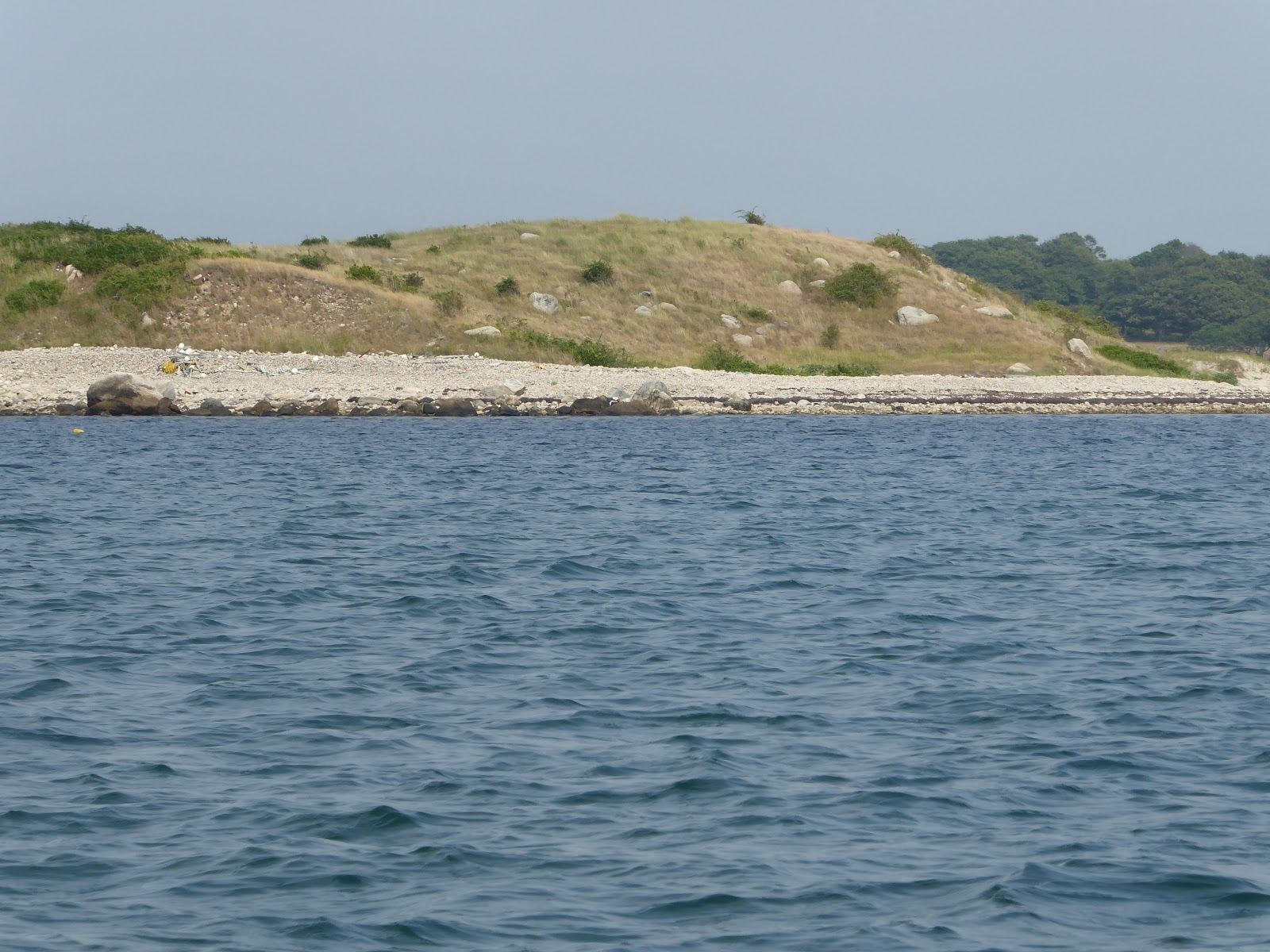
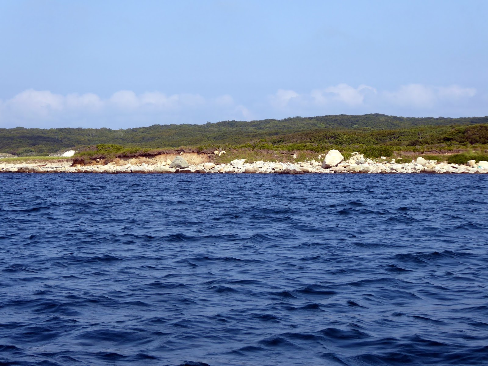
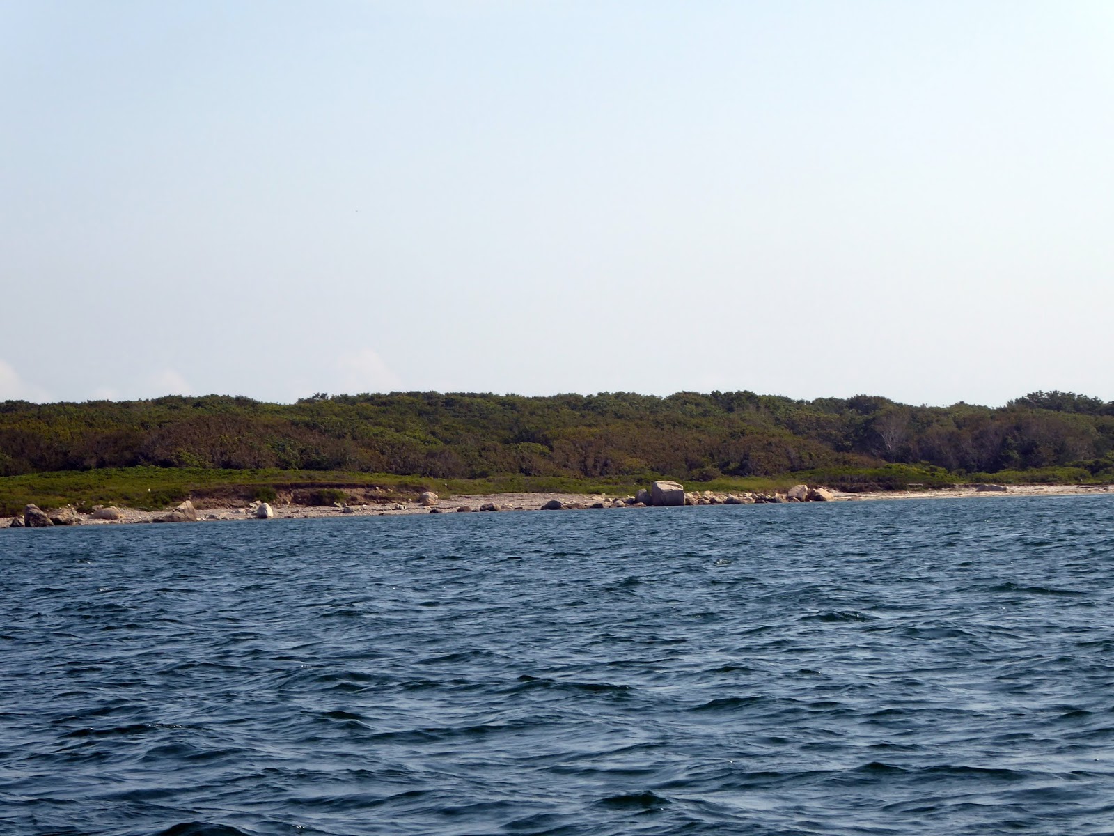
I was interested in the geology and ecology I was seeing. The whole bay including the Elizabeth Islands, neighboring Martha's Vineyard (and I expect Nantucket) is a jumble of glacial moraine material deposited by the most recent (Wisconsinin) ice sheet that receded about 12,000 years ago. Underneath it, at depths up to 100 meters, is very old (Proterozoic aka Precambrian) bedrock that forms a gently southeast-trending valley. The moraine (mixture of boulders, cobbles, sand, silt, and clay) was laid down on land, since sea level was much lower (all that water tied up in ice caps; later, the sea rose as the ice melted and gradually drowned all but the higher hills, which are now the islands, etc. You will see many places in the photos where wave erosion has cut into low hills and bluffs, washing away smaller sediments and leaving the larger cobbles and boulders on the shoreline.
I don't know the land use history of the Elizabeth Islands, but a little help comes from an article based on Seth Mendell's talk, A Brief History of the Elizabeth Islands. The Wampanoags had a presence in the islands when Europeans arrived. Bartholeme Gosnold "discovered" them in 1630, naming them for his (English) queen (as well as Marth's Vineyard possibly after his daughter). He was not sufficiently provisioned to start a colony, and so went home. The islands were early valued for timber, and substantially denuded. Sheep were pastured in the islands--a common practice in bay islands, where the water made a natural "fence." Sheep are still pastured on Nashawena. For a long time the islands were owned by James Bowdoin and family; he bought them around 1730 and was landlord to as many as twenty tenant sheep farmers, their business concentrated around Tarpaulin Cove on the south side of Naushon--the largest island. Piracy was also a local industry among the busy shipping of colonial times. John Murray Forbes began buying islands in the chain in the mid-1800s. "He called the place 'an unspoiled jewel' and set about making improvement such as better drainage, stone walls to hold the sheep in certain locations, and the planting of thousands of trees to aid in erosion control. After a while, he would buy out all remaining Bowdoin heirs. When the government wanted to set up a penal colony on Nashawena in 1904, Malcolm Forbes bought that island to keep it from becoming “something they didn’t want,” Mendell said. The Forbes family had been good stewards of the island, said Mendell, preventing their beauty from being sullied by commercial development." Of course, the islands are also being kept unsullied by visitors: all but Cuttyhunk and the even smaller Penikese are owned by the Forbes trust, and "no trespassing" signs are a prominent feature of the shorelines. Oddly, Cuttyhunk is the town seat of Gosnold, which includes all the Elizabeth Islands,by virtue of the simple fact it is the only place a non-Forbes can live. Today, Naushon is predominantly a forest landscape, while the other islands are predominantly shrubs and open ground; Pasque has only a scattering of trees.

Google Earth shows a few houses on Nashawena, Pasque, and the west and middle of Naushon, but nearly all of the dozen-or-so homes on the Forbes-owned islands are at the east end of Naushon and the small neighboring islands of Uncatena and Nonamesset, which are connected to the larger island by bridges. Here, the residents are a short boat-ride across Woods Hole from the lively community of West Falmouth.

I thought my hat was adequate sun protection for my face.
I was wrong, but didn't realize it until much too late.
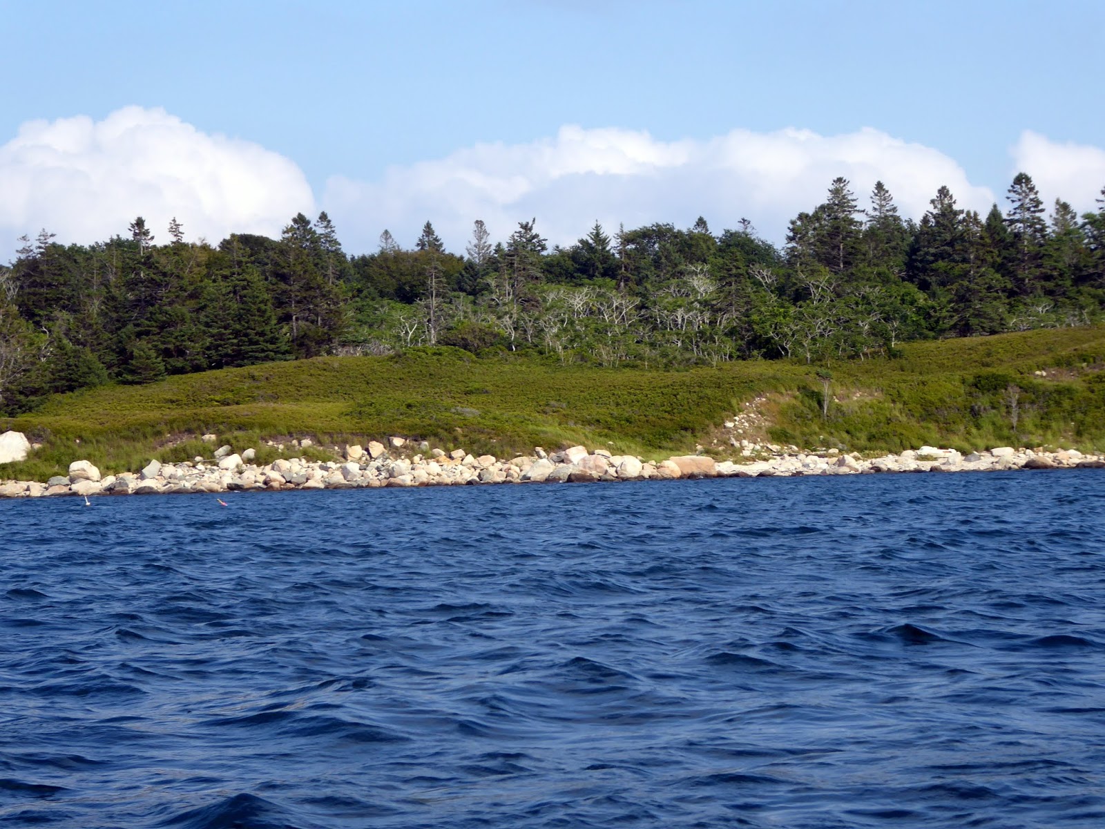
Smooth sailing. This is Naushon.
Close along Naushon.

Nashawena


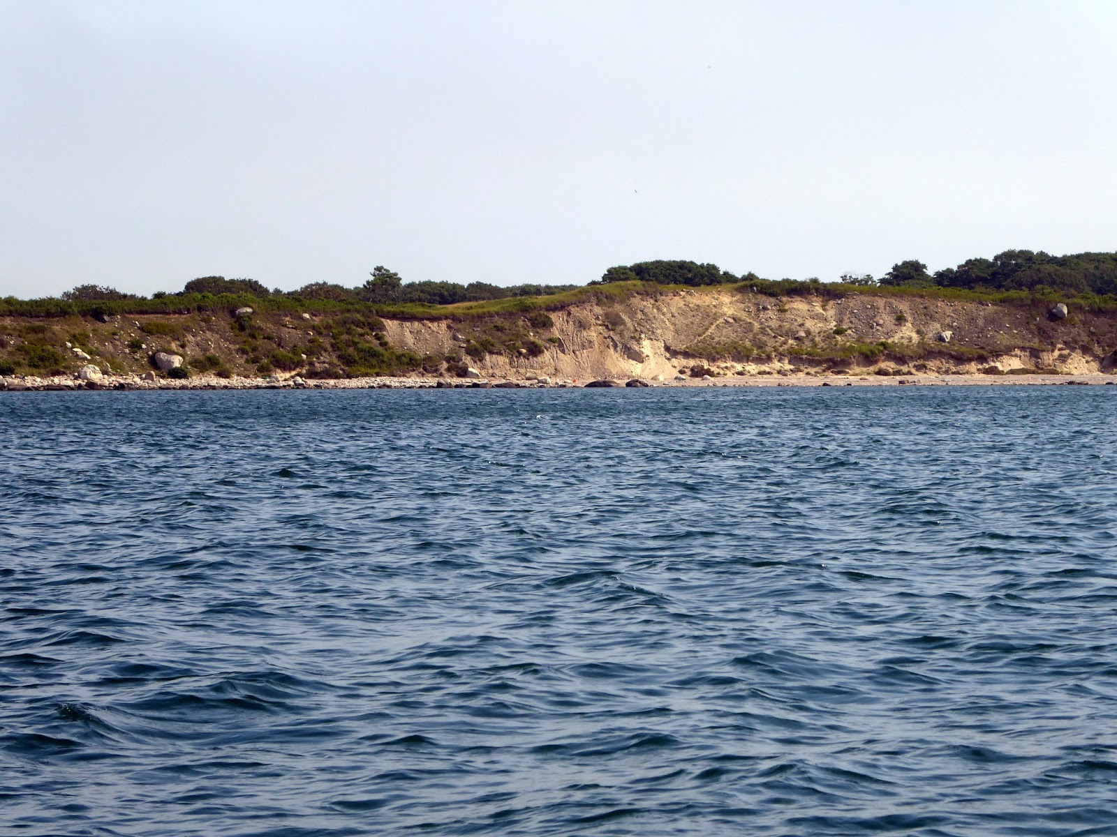


Quick's Hole, between Nashawena and Pasque Island

Pasque Island


Pasque Island close-ups


Robinson Hole, between Pasque Island and Naushon Island

Naushon Island


Tiny Weepecket Islands, which lie just north of Naushon near Woods Hole.

End of Naushon


Between Naushon and Uncatena

Uncatena


Classic gaff sloops racing in Woods Hole


No comments:
Post a Comment