
We launched on the Nemasket where it crosses the east-west road on the bottom right. The Nemasket runs 5 miles further, then empties into the Taunton River at upper left.
I've
been thinking about the Nemasket River ever since, on a float trip two winters
ago, I passed its mouth where it enters the Taunton River. But on Google Earth it meanders wildly before it
enters, and I doubted it had enough water to be navigated all the way by
kayak. Just recently I came across a web
page advocating kayaking in the Namasket, beginning with a nice put-in at Oliver
Mills Park. That was all the push I
needed.
I
didn't have either time or energy enough for another overnight, so Stephen and I
decided on a long day-trip: paddle the five miles downstream to the Taunton,
and then an additional fourteen miles to where the Taunton paralleled a major
road, and where we could take out. Since
preparing for the earlier Taunton float, I had made a chart of other possible
bail-out points--mostly bridges--so I didn't worry too much about our
speed. If the river had anything like
its rate of flow that winter, we would easily maintain two knots with only the
occasional paddle-stroke.
We
were late getting off at Oliver Mills on Saturday, September twenty-first, partly because it was so pretty that we
spent time wandering on shore before pushing off--Stephen in our 1--foot plastic kayak, Speedbump, me in my 12-foot skin-on-frame kayak, Musketaquid*. At 10:30 we were in motion, and the Nemasket
quickly proved its worth as a beautiful and relaxing trip. The water was at least a foot down, judging
from all the exposed banks growing grass, the flotsam stuck in overhanging tree
branches, and the appearance of the exposed banks. I too LOTS of photos, only a third of which I
will inflict on you.
We
encountered a lot of trees fallen across the stream, and negotiating them slowed us, including two brief portages.
Shallow rocks as well as underwater snags took a toll on the fabric skin
of my skin-on-frame kayak, eventually filling my boat with a goodly amount of
water. More water in the river would
probably have saved my bottom, but the fallen trees might have caused even more
trouble, since we wouldn't be able to get under as many of them.

From where the Nemasket enters at top right, we paddled the Taunton River another 6 miles to where it crosses the big east-west road at bottom left.
We hit
the Taunton right where we expected to.
As we paddled down this larger river, it was clear that less water meant
slower flow, which meant more work for us.
In fact, the swift stream of two winters ago had become mostly a
very long, very skinny pond. It was
equally clear that we wouldn't make our original pull-out before dark. Another consequence of the low water was that
the rocks under several bridges gave us significant trouble--bridges I had
drifted carelessly under in the larger boat, Bebe, I had taken two winters
before. The first of these was the
worst: we actually wedged the kayaks between rocks in the current, climbed out,
and tried to work the lighter boats through the shoot without (a) further
damage, (b) losing them to the current, or (c) falling in ourselves.
We
paddled only five or six more miles before we were ready to call it a day at
the next available bridge, which we reached a little after 5pm. My wife Beatrice was kind enough to pick us
up even as she had dropped us off in the morning.
In its heyday, the Oliver Mill was the biggest employer in the area,
and operated many water wheels simultaneously for different purposes.


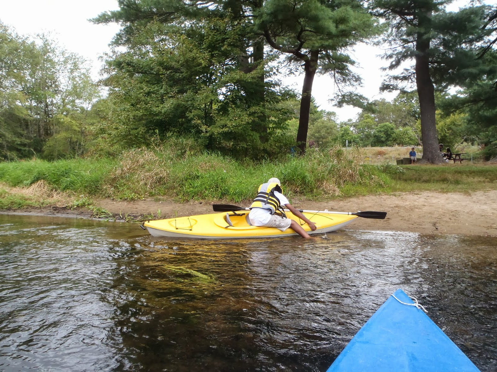
Embarking on our little adventure.

The grassy flats are, I think, usually underwater.


Our first obstacle was only a warm-up for what lay ahead.

A few stretches were as straight as canals.

What killed this tree after it had gotten so big? (Swamps are often full of such trees:
do their roots drown as they sink under their own growing weight?)

Our first bridge was a picturesque one.


The adirondack chair hints, "here live some who appreciate the water."


This was narrower than it looked; left some paint behind here.

Even though we are in eastern Massachusetts, we float for miles with only a few homes visible.


A screened gazebo is a pretty cool way to make the river bank
a place for three-season relaxation.

Stephen is still learning that it's better to hit a gap in line with the current.

Another obstacle ahead.

High-tension lines follow the river for quite a way;
I found the cracking hum they emitted a little alarming.

Sometimes the water could be pretty weedy.


It's beautiful--but why did this red maple turn so far ahead of its neighbors?

More power lines.

More weeds.

I had not mapped bridges on the Nemasket, but expected
we would get well into the Taunton before we could possibly need rescue.

About to enter the last meanders.

Finally in the Taunton: Stephen is just entering the river,
while I am looking upsteam in the Taunton. Few pictures after this.

The Titicut Street bridge was a challenge: too much current for so little depth.

It is instantly obvious the Taunton is different from the Nemasket:
no more shallow edges and grassy flats.

Spoke a little too soon: there was no simple path among these rocks,
and Musketiquid grounded on several submerged rocks.

I loved the reflections. It was a breezy day, but we were usually protected.
Lunch stop on a 90 degree bend in the river. The gallon of water
I thought Musketaquid had taken on was more like six gallons!

Gentle bend.

We inadvertently alarmed a family of mallards.


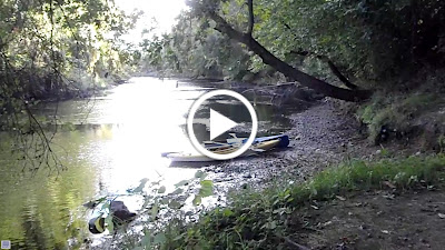
Just past these rocks, we would end our trip on the upstream side of route 44.

Fair-weather clouds.

Route 44 is a busy, fast-moving road,
but there was a wide grassy verge to make loading the boats safer.
*Musketaquid or "grass-grown river" was the indian name for the Concord River, as well as the name of Henry David Thoreau's boat.
No comments:
Post a Comment